Innovation that keeps communities moving
Etch’s open source geospatial technology interconnects critical infrastructure operations essential to everyday community life.


Etch supports public sector organizations in innovating and streamlining infrastructure through customized geospatial solutions that reduce inefficiencies and increase agile decision-making. Together we are connecting to build more resilient communities.
Geospatial Services

Program planning and implementation
Strategic planning for government and private sectors, including facilitation of multi-departmental entities needing to manage, update and disseminate GIS data

Custom built applications
Open source and proprietary software solutions for integration of multiple systems

Asset management
Asset management that maintains and tracks infrastructure, from data collection to integration with work order management software

SaaS products that scale
AVL and CVE Geospatial Services
A software as a Solution (SaaS) product that enhances Automated Vehicle Location (AVL) and Connected Vehicle (CVE) operations and data for snow plow, mowing, sweeping, and leaf collection
Etch Mobility Platform
Interoperability that connects internal and external users in order to reduce Public Transit confusion and anxiety
-
![Truck plowing a snowy road near evergreen trees]()
Etch to release new Driver Module to enhance snow operation software
Plow drivers will be able to utilize the Driver Module application to track specific treatment types, zone completion, number of passes, and number of rounds. While tracking this information, the drivers will have access to a navigation system that provides directions to better understand the street network for efficient snow treatment and removal.
-
![Michigan road with autumn leaves]()
Saginaw County Road Commission honored with three statewide IMPRESS awards!
This year, SCRC received an IMPRESS award in Communications for the“Plow Locator;” and an award in Operations for “Drone Inventory Bulk Materials”
-
![Man in construction vest standing in front of equipment writing on a tablet computer]()
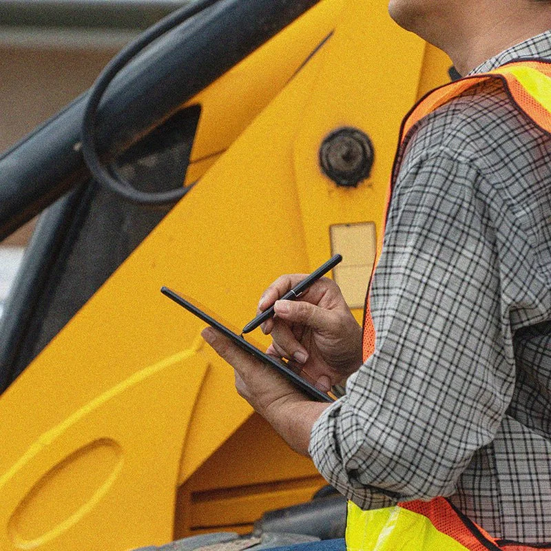
Featured product: Etch Mobility Platform
Etch’s Mobility Platform promotes interoperability to connect various participants including back office staff, travelers, and drivers, with an aim to reduce anxiety and confusion while using Public Transit.